Drone Search and Rescue
Rescues, recoveries. and search help is needed when disaster strikes. Drone flyers are hitting the skies to save the day. The damage has already been done, now it is time to pick up the pieces. Natural disasters will continue to wreak havoc and we have to answer with the speediest disaster response.
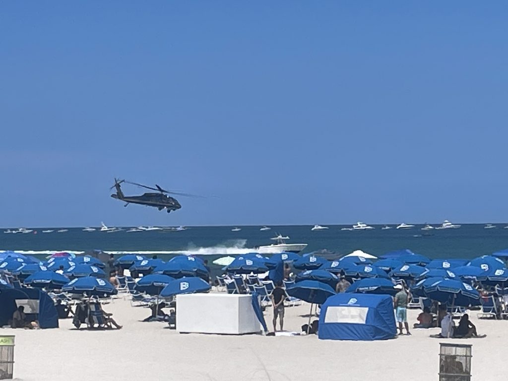
FPL assessed the damage to their power lines with use of their own drone fleet after Hurricane Ian Pummeled the west coast of Florida. Crews were able to hit the ground running with the knowledge of where they were most needed, to get power restored in ordered fashion.
Florida was able to jumpstart the return to normal by utilizing drone technology to provide useful data to rescue crews. The breakneck speed of the recovery efforts has been nothing short of impressive.
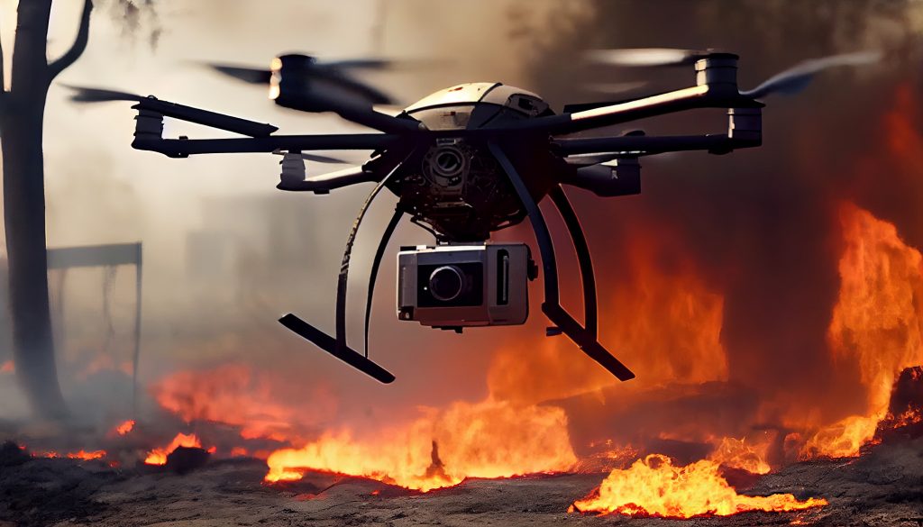
Pilots are capturing images of storms that resonate with the public, and show the totality and extent of these tragedies. The visuals conveyed by the drones perfectly exemplify the extensive damage caused by the powerful storms. The startling images often going viral, emotionally tying the viewer into the tragedy, offering them a perspective they could not otherwise feel without the drone footage.
India
Bangalore, a city in India, has been recently been inundated with torrential downpours. The country is turning to drones for preventative measures. With the use of drone technology, they hope to gather data about susceptible areas, and use the data to hopefully reduce future problems.
Preventative maintenance is the main goal of the program. However, you cannot protect against every contingency, so in the event of disaster, drones will also be able to help with recovery efforts.
India has also embraced emergency drones to survey landscapes to determine the extent of crop damage associated with the considerable flooding. Captured data provides accurate estimates about losses to farmers. This data will further assist with providing farmers receive fast and fair compensation for their losses.
Progress
An aerial photographer, Douglas Thron, has been able to rescue animals from disaster, with the aid of thermal technology. Drones and drone technology provide the opportunity for many bystanders to act.
Companies are advancing the applications for drone technology at breakneck speed.
Sabrewing Aircraft Company, Inc recently carried 829 pounds, smashing the previous world record lift. Nevertheless, the company claims to be capable of carrying much higher payloads. They have already received 28 orders, and are scheduled to begin delivery by the end of 2023.
Paypixl is a startup looking to provide a hub for drone pilots. Users of the platform can upload photos, with the goal of providing homeowners updated information of real-time storm damage. A real-time map of the affected areas would be able provide residents the best information about the status of their house after a storm.
Traditional methods of storm recovery, using helicopters, are expensive. Mapping technology deployed by drone saves money. Additionally, drones are more than capable of helping teams work more efficiently.
Last month, the FAA awarded $2.7M for research on the use of drones in preventing and mitigating disasters. Time matters in emergencies, drones win the day. The FAA recognizes the value drones deliver.
Conclusion
Drones are changing the landscape of disaster recovery. Drones enable faster response times in emergencies. Drones provide real-time information. Clearly, drones are becoming indispensable for the times when every second counts. Every second counts, every time in disaster recovery.